Danger level
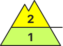
2400m
Avalanche Problem

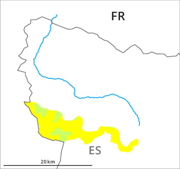
Wind-drifted snow

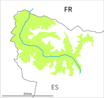
2400m

New snow

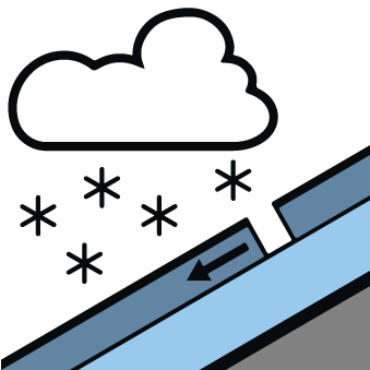
Wind slabs in the vicinity of peaks. New snow in shady places that are protected from the wind.
On Saturday the wind was moderate in particular from the border with Benasque via the border with Ribagorça to the border with Pallars. The wind slabs can be released by a single winter sport participant in isolated cases in particular on very steep east, southeast and south facing slopes and generally in high Alpine regions. The avalanches in these loacations are rather small.
The new snow of the last few days can be released by a single winter sport participant on extremely steep shady slopes. The avalanches are only small.
The new snow of the last few days can be released by a single winter sport participant on extremely steep shady slopes. The avalanches are only small.
Snowpack
>Shady slopes: The upper section of the snowpack is favourably layered; its surface consists of loosely bonded snow.
Sunny slopes: The solar radiation gave rise as the day progresses to slight moistening of the snowpack in some places on steep slopes. The surface of the snowpack will freeze, but a strong crust will not form and will soften during the day.
Sunny slopes: The solar radiation gave rise as the day progresses to slight moistening of the snowpack in some places on steep slopes. The surface of the snowpack will freeze, but a strong crust will not form and will soften during the day.
Tendency
Gradual decrease in avalanche danger.