Danger level

treeline
Avalanche Problem

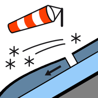
Wind slab

Treeline


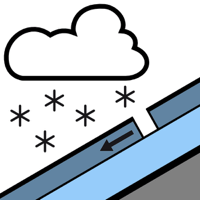
New snow


The Avalanche Warning Service currently has only a small amount of information that has been collected in the high Alpine regions, so that the avalanche danger should be investigated especially thoroughly in the relevant locality.
As a consequence of new snow and wind a considerable danger of dry avalanches will persist.
Very large quantity of fresh snow and in particular all the wind slabs can be released easily or naturally in all aspects. Sometimes they are medium-sized. In particular intermediate and high altitudes: The avalanche prone locations are prevalent and are barely recognisable because of the poor visibility.
Very steep grassy slopes: Gliding avalanches are possible. Sometimes these are medium-sized.
Backcountry touring calls for defensive route selection.
Very steep grassy slopes: Gliding avalanches are possible. Sometimes these are medium-sized.
Backcountry touring calls for defensive route selection.
Snowpack
>
40 to 60 cm of snow, and even more in some localities, has fallen since Saturday above approximately 1500 m. The violent wind has transported the new snow significantly. The snowpack will be generally weakly bonded. Monday: Up to 30 cm of snow, and even more in some localities, will fall until the evening. As a consequence of low temperatures snowfall and the occasionally strong wind, the snow drift accumulations will increase in size.
Tendency
Tuesday: Gradual decrease in avalanche danger as the snowfall eases.