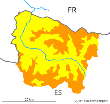
Danger level

2000m
Avalanche Problem

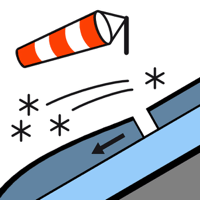
Wind slab

2000m


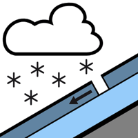
New snow


New snow, wind slabs and old snow are to be assessed with care and prudence.
As a consequence of new snow and stormy weather dry avalanches are possible from the late morning, in particular medium-sized ones. The avalanche prone locations are to be found at intermediate and high altitudes, and adjacent to ridgelines and in gullies and bowls. Avalanches can in many places be released by a single winter sport participant. Small and, in isolated cases, medium-sized natural avalanches are possible at intermediate and high altitudes. Dry avalanches can in very isolated cases be released in deeper layers, in particular by large additional loads. These can reach large size on shady slopes.
Backcountry touring and other off-piste activities call for extensive experience and great restraint. The avalanche prone locations are numerous and are barely recognisable because of the poor visibility.
Backcountry touring and other off-piste activities call for extensive experience and great restraint. The avalanche prone locations are numerous and are barely recognisable because of the poor visibility.
Snowpack
>
20 to 30 cm of snow, and up to 40 cm in some localities, will fall in the middle of the day above approximately 1400 m. As a consequence of, snowfall and the occasionally storm force northwesterly wind, fresh snow drift accumulations will form by the middle of the day. The fresh wind slabs are lying on unfavourable layers in particular on wind-protected shady slopes above approximately 2200 m.
Above the tree line there are 70 to 100 cm of snow. In particular at high altitude snow depths vary greatly, depending on the infuence of the wind.
Above the tree line there are 70 to 100 cm of snow. In particular at high altitude snow depths vary greatly, depending on the infuence of the wind.
Tendency
Tuesday: Gradual decrease in danger of dry avalanches as the snowfall eases. Gradual increase in danger of wet and gliding avalanches as a consequence of warming.