Danger level

2500m
Avalanche Problem

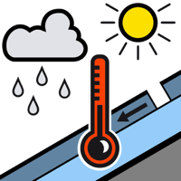
Wet snow

2500m


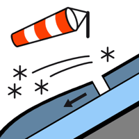
Wind slab

2500m


Up to high altitudes rain has fallen in some regions. Wet snow requires caution.
As the snowfall level rises small moist snow slides and avalanches are possible below approximately 2500 m.
As a consequence of new snow and a moderate northwesterly wind, mostly shallow wind slabs formed at elevated altitudes. They can be released by a single winter sport participant in isolated cases.
As a consequence of new snow and a moderate northwesterly wind, mostly shallow wind slabs formed at elevated altitudes. They can be released by a single winter sport participant in isolated cases.
Snowpack
>
Up to high altitudes rain has fallen over a wide area. The snowpack remains moist below approximately 2500 m. At higher altitudes there are 5 to 10 cm of snow, and even more in some localities.
Above the tree line snow depths vary greatly, depending on the infuence of the wind. At intermediate altitudes there are 40 to 80 cm of snow. On steep sunny slopes at low altitude no snow is lying.
Above the tree line snow depths vary greatly, depending on the infuence of the wind. At intermediate altitudes there are 40 to 80 cm of snow. On steep sunny slopes at low altitude no snow is lying.
Tendency
Sunday: The surface of the snowpack will freeze to form a strong crust. The weather will be sunny at times. The wind will be moderate to strong in the vicinity of peaks in some regions.