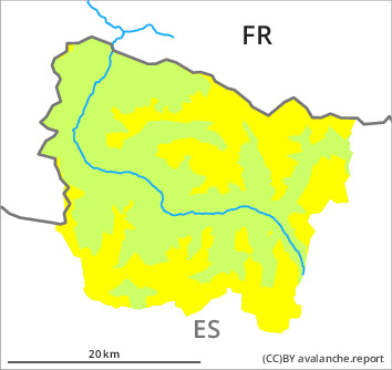
Danger level

treeline
Avalanche Problem

Wind slab

Treeline


Persistent weak layer
Treeline
Fresh wind slabs as the day progresses. Distinct weak layers in the upper part of the snowpack necessitate caution.
As a consequence of a light to moderate southwesterly wind, easily released wind slabs will form in the course of the day in places that are protected from the wind. The fresh wind slabs will be deposited on the unfavourable surface of an old snowpack in particular on wind-protected shady slopes. Mostly they are rather small. Weak layers in the old snowpack can still be released in isolated cases. In isolated cases they are medium-sized. Extremely steep shady slopes at a distance from ridgelines: In addition an appreciable danger of dry snow slides exists. These are rather small but in some cases easily released.
Backcountry touring and other off-piste activities call for meticulous route selection. Apart from the danger of being buried, restraint should be exercised in view of the danger of avalanches sweeping people along and giving rise to falls.
Backcountry touring and other off-piste activities call for meticulous route selection. Apart from the danger of being buried, restraint should be exercised in view of the danger of avalanches sweeping people along and giving rise to falls.
Snowpack
>
Shady slopes: The upper section of the snowpack is faceted and weak and its surface consists of surface hoar. The sometimes moderate wind will transport the loosely bonded old snow. This snow will become increasingly prone to triggering in particular on shady slopes.
Sunny slopes: The surface of the snowpack will freeze to form a strong crust and will hardly soften at all. Moist snow slides are no longer to be expected.
Above the tree line snow depths vary greatly, depending on the infuence of the wind. In all regions less snow than usual is lying.
Sunny slopes: The surface of the snowpack will freeze to form a strong crust and will hardly soften at all. Moist snow slides are no longer to be expected.
Above the tree line snow depths vary greatly, depending on the infuence of the wind. In all regions less snow than usual is lying.
Tendency
Especially in the southern area of Aran 10 to 20 cm of snow, and even more in some localities, will fall until Saturday. The danger of dry avalanches will increase.