Danger level

2200m
Avalanche Problem

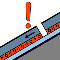
Persistent weak layer

2200m


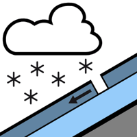
New snow

1500m


New snow and weakly bonded old snow are to be assessed with care and prudence.
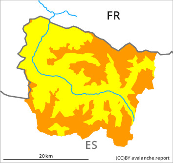
As a consequence of new snow and a sometimes strong wind, sometimes large wind slabs formed in particular at the southern and eastern borders of Aran. These can over a wide area be released by a single winter sport participant or triggered naturally. Weak layers exist in the snowpack in particular on steep shady slopes. Whumpfing sounds and the formation of shooting cracks when stepping on the snowpack and fresh avalanches are a clear indication of a weakly bonded snowpack. These avalanche prone locations are sometimes covered with new snow and are barely recognisable because of the poor visibility.
As a consequence of the precipitation dry avalanches are possible as the day progresses, but they can reach medium size in isolated cases. The avalanche prone locations are to be found in particular in steep terrain at intermediate and high altitudes and in places that are protected from the wind.
As a consequence of the precipitation dry avalanches are possible as the day progresses, but they can reach medium size in isolated cases. The avalanche prone locations are to be found in particular in steep terrain at intermediate and high altitudes and in places that are protected from the wind.
Snowpack
>
In particular in the south 5 to 10 cm of snow fell in the last two days above approximately 1800 m. Over a wide area 15 to 25 cm of snow, and even more in some localities, will fall until Friday above approximately 1400 m.
Over a wide area new snow and wind slabs are lying on old snow containing large grains. The various wind slabs have bonded poorly with the old snowpack.
Over a wide area new snow and wind slabs are lying on old snow containing large grains. The various wind slabs have bonded poorly with the old snowpack.
Tendency
Friday: Gradual increase in danger of dry avalanches as a consequence of the new snow.