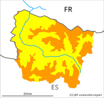
Danger level

treeline
Avalanche Problem

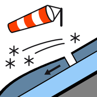
Wind slab

Treeline


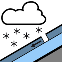
New snow


New snow and wind slabs are to be assessed with care and prudence.
As a consequence of new snow and a moderate to strong wind from northerly directions, avalanche prone wind slabs will form on Tuesday. These can be released very easily and reach medium size. The avalanche prone locations are to be found in particular adjacent to ridgelines and in pass areas and in gullies and bowls, and behind abrupt changes in the terrain.
The somewhat older wind slabs can be released by a single winter sport participant in some cases in particular on steep, little used shady slopes. These will be covered with new snow and therefore difficult to recognise.
As a consequence of the new snow more snow slides are to be expected as the day progresses, even medium-sized ones. These can be released easily or triggered naturally.
The current avalanche situation calls for careful route selection. The avalanche prone locations are barely recognisable because of the poor visibility.
Snowpack
>
10 to 15 cm of snow fell in the past few hours.
Tuesday: The weather will be cloudy over a wide area. 10 to 15 cm of snow, and even more in some localities, will fall until the afternoon above approximately 1800 m. The wind will be moderate to strong adjacent to ridgelines especially at the southern and eastern borders of Aran. The northerly wind will transport the new snow and, in some cases, old snow as well.
Tuesday: The weather will be cloudy over a wide area. 10 to 15 cm of snow, and even more in some localities, will fall until the afternoon above approximately 1800 m. The wind will be moderate to strong adjacent to ridgelines especially at the southern and eastern borders of Aran. The northerly wind will transport the new snow and, in some cases, old snow as well.
Tendency
The avalanche danger will not decrease for the time being.