Danger level

2200m
Avalanche Problem

Wind slab

2200m


Wet snow

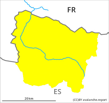
Wind slabs at the southern and eastern borders of Aran. Moist snow slides and avalanches.
The fresh and older wind slabs are to be found especially adjacent to ridgelines and in the high Alpine regions. These can be released by a single winter sport participant and reach medium size.
As the moisture increases moist snow slides and avalanches are to be expected as the day progresses, but they will be mostly small. These can be released by a single winter sport participant or triggered naturally. Some medium-sized avalanches are further not ruled out. The avalanche prone locations are to be found in particular at low and intermediate altitudes and on steep sunny slopes. Individual gliding avalanches can also occur.
The current avalanche situation calls for meticulous route selection. The avalanche prone locations are barely recognisable because of the poor visibility.
Snowpack
>
Thursday: The weather will be partly cloudy. The wind will be light to moderate adjacent to ridgelines especially at the southern and eastern borders of Aran. The snowpack will become moist at low and intermediate altitudes.
Tendency
Gradual increase in danger of dry avalanches as a consequence of the moderate to strong northwesterly wind.