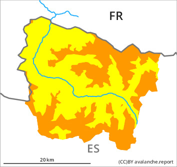
Danger level

treeline
Avalanche Problem

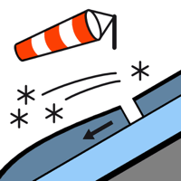
Wind slab

Treeline


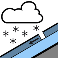
New snow

Treeline


Fresh wind slabs require caution. The wind will be strong to storm force.
Friday: As a consequence of a moderate to strong northwesterly wind, precarious wind slabs formed in the course of the day at high altitude.
Saturday: As a consequence of new snow and strong wind the wind slabs will increase in size. These can be released very easily or triggered naturally. In many cases the avalanches are medium-sized. Some occasionally large avalanches are further not ruled out. The avalanche prone locations are to be found in all aspects at intermediate and high altitudes and in gullies and bowls, and behind abrupt changes in the terrain.
In places that are protected from the wind dry snow slides and avalanches are possible, but they will be mostly small. These can be released easily.
The current avalanche situation calls for great caution and restraint.
Snowpack
>
Saturday: Over a wide area 15 to 20 cm of snow, and even more in some localities, will fall until the evening in all altitude zones. The weather will be cloudy. The northwesterly wind will transport the fresh and old snow significantly. The wind will be strong to storm force especially at the southern and eastern borders of Aran.
The conditions are treacherous for backcountry touring.
The conditions are treacherous for backcountry touring.
Tendency
Slight decrease in danger of dry avalanches as a consequence of the ceasing of precipitation. Gradual increase in danger of moist avalanches as a consequence of warming during the day and solar radiation.