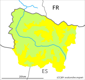
Danger level

2100m
Avalanche Problem

Persistent weak layer

2100m


New snow
1500m

Weakly bonded old snow requires caution. Moist snow slides are to be expected from the early morning.
The wind slabs of last week are poorly bonded with the old snowpack. Weak layers in the lower part of the snowpack can be released by people especially on steep, rather lightly snow-covered shady slopes. In isolated cases the avalanches are medium-sized.
Released avalanches and whumpfing sounds have confirmed the existence of a weak snowack on shady slopes.
As a consequence of the new snow individual snow slides are possible above approximately 1500 m.
Released avalanches and whumpfing sounds have confirmed the existence of a weak snowack on shady slopes.
As a consequence of the new snow individual snow slides are possible above approximately 1500 m.
Snowpack
>
Up to 5 cm of snow, and even more in some localities, fell on Sunday above approximately 1500 m. The fresh snow of last week as well as the sometimes deep wind slabs are lying on soft layers in particular on shady slopes above approximately 2100 m. Shady slopes intermediate and high altitudes: Faceted weak layers exist deeper in the snowpack.
In particular sunny slopes and low and intermediate altitudes: The surface of the snowpack will only just freeze and will already soften in the late morning.
In particular at elevated altitudes snow depths vary greatly, depending on the infuence of the wind.
In particular sunny slopes and low and intermediate altitudes: The surface of the snowpack will only just freeze and will already soften in the late morning.
In particular at elevated altitudes snow depths vary greatly, depending on the infuence of the wind.
Tendency
Gradual decrease in danger of moist avalanches as the temperature drops.