Friday 04.12.2020
Published03 12 2020, 18:55
Danger level
2100m
Avalanche Problem

Wind-drifted snow

2100m

New snow


Wind slabs represent the main danger.
The fresh snow and in particular the mostly small wind slabs can be released by a single winter sport participant on steep east, southeast and south facing slopes. Careful route selection is required.
Snowpack
>
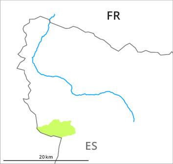
At the divide with the Ribagorçana basin basin 15 to 25 cm of snow has fallen above approximately 1000 m. Adjacent to ridgelines and in pass areas and on slopes the likelihood of dry avalanches will increase during the day.
Tendency
The avalanche danger will increase significantly during the day.
Danger level
2100m
Avalanche Problem
Wind-drifted snow

2100m
Wet snow

2000m


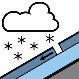
Wind slabs represent the main danger. In addition in the afternoon below approximately 2100 m, individual moist snow slides are possible.
The fresh snow of yesterday as well as the wind slabs can be released, especially by large additional loads, on east to south to southwest facing aspects above approximately 2100 m. These avalanche prone locations are to be found in particular in gullies and bowls, and behind abrupt changes in the terrain. Here the avalanches can in some cases reach medium size. In addition from midday especially at the base of rock walls, some small moist snow slides are to be expected.
Snowpack
>
As a consequence of mild temperatures and solar radiation the snowpack consolidated. Towards its base, the snowpack is largely stable. The new snow of yesterday has settled to a large extent in particular on steep sunny slopes.
Tendency
Danger level
treeline
Avalanche Problem
New snow

Treeline

Wind-drifted snow

2300m


New snow and wind slabs as the day progresses.
The new snow will be deposited on soft layers in particular on shady slopes and at intermediate and high altitudes. This snow as well as the mostly small wind slabs that are forming adjacent to ridgelines in all aspects can be released easily, or, in isolated cases naturally in particular on steep shady slopes. Careful route selection is advisable.
Snowpack
>
The snowpack will become unstable as the day progresses. Over a wide area 15 cm of snow, and up to 25 cm in some localities, will fall until Saturday in all altitude zones. The wind will be moderate to strong adjacent to ridgelines. In the course of the day the wind slabs will increase in size substantially.
Tendency
As a consequence of snowfall and the light to moderate northerly wind, fresh snow drift accumulations will form at the weekend.