Danger level

2000m
Avalanche Problem

Wind-drifted snow

2000m


Wet snow


Wind slabs and wet snow are to be assessed with care and prudence.
The fresh snow of the last three days and in particular the extensive wind slabs formed during the snowfall can be released easily, or, in isolated cases naturally in particular on north to east to south facing aspects above approximately 2000 m. Explanation: "these" may only stand for "these avalanches" are medium-sized and can be released easily by a single winter sport participant. The avalanche prone locations are to be found in particular adjacent to ridgelines and in gullies and bowls. As a consequence of warming during the day and solar radiation numerous small and, in isolated cases, medium-sized moist snow slides and avalanches are to be expected in all altitude zones. Backcountry touring and other off-piste activities call for extensive experience in the assessment of avalanche danger and careful route selection.
Snowpack
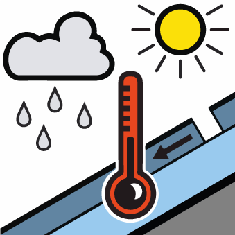
>30 to 40 cm of snow, and even more in some localities, has fallen since Saturday above approximately 2000 m. The westerly wind has transported the new snow significantly. Up to 2300 m rain will fall until late morning. As a consequence of rising temperatures and rain no crust will develop on the surface during the night. Sunshine and high temperatures will give rise as the day progresses to rapid and thorough wetting of the snowpack over a wide area in particular on steep sunny slopes in all altitude zones.
Tendency
The danger of dry and moist avalanches will decrease gradually.