Danger level

2000m
Avalanche Problem

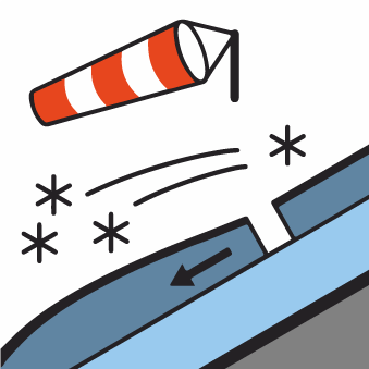
Wind-drifted snow

2000m


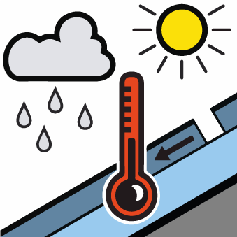
Wet snow


Wind slabs and wet snow are to be assessed with care and prudence.
Very large quantity of fresh snow and in particular the extensive wind slabs can be released by a single winter sport participant in some cases in particular on very steep east and south facing slopes above approximately 2000 m. Avalanches can in some places be released by small loads and reach dangerously large size.
The southerly foehn wind will transport the new snow. The fresh wind slabs will become increasingly prone to triggering on very steep north and east facing slopes and above the tree line. The avalanches in these loacations are only small but in many cases easily released.
As the day progresses the likelihood of moist small and medium sized avalanches being released will increase gradually on very steep sunny slopes at low and intermediate altitudes. Gliding avalanches are also to be expected at any time.
Backcountry touring and other off-piste activities call for experience in the assessment of avalanche danger and careful route selection. Areas with glide cracks are to be avoided.
Snowpack
>50 cm of snow, and even more in some localities, has fallen since Saturday. The strong wind has transported the new snow significantly. Large quantities of fresh snow and the wind-drifted snow are lying on a crust in all aspects and in all altitude zones. Avalanches triggered by explosives and field observations confirm the complex avalanche situation.
Shady slopes intermediate and high altitudes: Towards its base, the snowpack is weak. In these regions the avalanches can be released in deep layers of the snowpack and reach quite a large size.
In places that are protected from the wind a lot of snow is lying for the time of year in all altitude zones. In particular at high altitude snow depths vary greatly, depending on the infuence of the wind.
Tendency
Sharp decrease in danger of moist avalanches as the temperature drops. Significant increase in danger of dry avalanches as the snowfall becomes more intense.