Danger level
Avalanche Problem

Wind-drifted snow


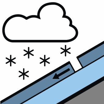
New snow

As before, it is inadvisable to engage in backcountry touring and other off-piste activities.
The large quantity of fresh snow and in particular the widespread extensive wind slabs represent the main danger.
On very steep northeast, east and south facing slopes more large and, in isolated cases, very large dry avalanches are to be expected as a consequence of new snow and strong wind. The fresh wind slabs can be released easily. or in isolated cases naturally, in all altitude zones. The peak of avalanche activity will be reached during the course of the night probably. Medium-sized and, in isolated cases, large avalanches are possible also in places that are protected from the wind. These can in many places be released by people.
At elevated altitudes the avalanche prone locations are more prevalent and larger. In isolated cases avalanches can penetrate deep layers and reach very large size.
The conditions are very dangerous for ski touring, freeriding and snowshoe hiking outside marked and open pistes.
At elevated altitudes the avalanche prone locations are more prevalent and larger. In isolated cases avalanches can penetrate deep layers and reach very large size.
The conditions are very dangerous for ski touring, freeriding and snowshoe hiking outside marked and open pistes.
Snowpack
>
On Friday numerous large and, in isolated cases, very large avalanches occurred naturally.
140 to 170 cm of snow, and even more in some localities, has fallen since Wednesday above approximately 2000 m. 2 to 5 cm of snow will fall until the evening above approximately 1500 m. The wind will be moderate to strong adjacent to ridgelines especially in the east and in the south.
In all regions in all altitude zones a very large amount ofsnow is lying for the time of year.
Tendency
On Sunday it will be sunny. Gradual decrease in danger of dry avalanches as a consequence of the ceasing of precipitation. Significant increase in danger of moist avalanches as a consequence of warming during the day and solar radiation.