
Danger level

1800m
Avalanche Problem
Wet snow

1800m


Wind-drifted snow
2300m

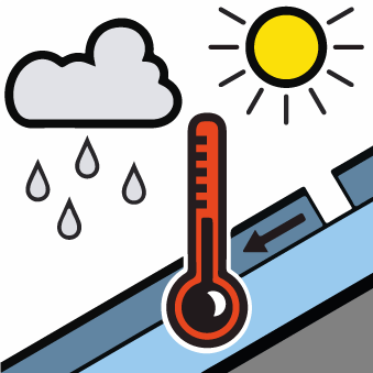
Moist snow slides and gliding avalanches are possible during the day. Fresh wind slabs in particular in the vicinity of peaks.
As a consequence of falling temperatures a crust formed on the surface during the night. As a consequence of warming during the day and the solar radiation, the likelihood of moist snow slides and avalanches being released will increase gradually in particular on very steep sunny slopes in all altitude zones. In isolated cases the avalanches are medium-sized.
In addition further wind slabs formed in particular in the vicinity of peaks on Wednesday. The fresh wind slabs can in some places be released by people, but they will be small in most cases. Backcountry touring calls for meticulous route selection.
In addition further wind slabs formed in particular in the vicinity of peaks on Wednesday. The fresh wind slabs can in some places be released by people, but they will be small in most cases. Backcountry touring calls for meticulous route selection.
Snowpack
>
Over a wide area 20 to 30 cm of snow, and even more in some localities, has fallen since Monday above approximately 1500 m. The northwesterly wind has transported the new snow significantly. Wednesday: Up to 2300 m rain has fallen. The rain gave rise to moistening of the snowpack in all aspects at low and intermediate altitudes. Thursday: The surface of the snowpack has frozen to form a strong crust and will soften during the day.
Above approximately 2000 m there are 100 to 200 cm of snow, and even more in some localities. Snow depths vary greatly at elevated altitudes, depending on the infuence of the wind.
Above approximately 2000 m there are 100 to 200 cm of snow, and even more in some localities. Snow depths vary greatly at elevated altitudes, depending on the infuence of the wind.
Tendency
Friday: Outgoing longwave radiation during the night will be quite good. Slight increase in danger of moist avalanches in the course of the day.