Danger level

2300m
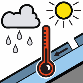
Avalanche Problem

Wind-drifted snow

2300m

Wind slabs at high altitude.
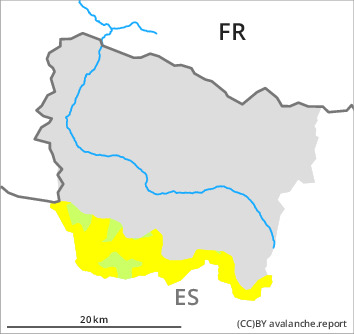
As a consequence of a moderate wind from southeasterly directions, precarious wind slabs formed in the last few days adjacent to ridgelines and in gullies and bowls. They are mostly small but can in some cases be released easily. Above approximately 2300 m and in the valleys bordering the Ribagorçana basin and the Pallaresa basin the avalanche prone locations are more prevalent and the danger is greater.
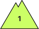
As a consequence of warming during the day and solar radiation small moist snow slides are possible in all altitude zones. Individual gliding avalanches can also occur.
As a consequence of warming during the day and solar radiation small moist snow slides are possible in all altitude zones. Individual gliding avalanches can also occur.
Snowpack
>
The new snow and wind slabs of the last few days are lying on a crust in all aspects. This snow is bonding only slowly with the old snowpack in particular on very steep, little used shady slopes and at high altitude.
Sunny slopes: The old snowpack will be generally moist. The surface of the snowpack will freeze to form a strong crust and will soften during the day. Shady slopes and low and intermediate altitudes: The surface of the snowpack will freeze to form a strong crust and will hardly soften at all.
Sunny slopes: The old snowpack will be generally moist. The surface of the snowpack will freeze to form a strong crust and will soften during the day. Shady slopes and low and intermediate altitudes: The surface of the snowpack will freeze to form a strong crust and will hardly soften at all.
Tendency
The danger of dry and moist avalanches will persist.