Danger level

Avalanche Problem
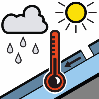
Wet snow


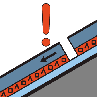
Persistent weak layer

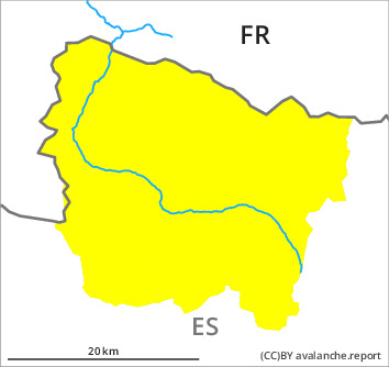
2400m

Wet and gliding snow require caution. Weakly bonded old snow at elevated altitudes.
Until the temperature falls more small and, in isolated cases, medium-sized moist snow slides and avalanches are possible in all altitude zones. The avalanche prone locations are to be found on very steep sunny slopes above approximately 2000 m and on shady slopes in all altitude zones. In addition a latent danger of gliding avalanches exists.
In particular high altitudes: Weak layers in the old snowpack can be released in some places by people also on steep, rather lightly snow-covered shady slopes. Sometimes they are medium-sized and in isolated cases easily released.
The current avalanche situation calls for meticulous route selection. Backcountry tours and off-piste skiing should be concluded by around midday.
Snowpack
>
Sunday: As a consequence of high temperatures and significant solar radiation the snow drift accumulations stabilised. Monday: The wind will be strong in the vicinity of peaks in particular in the regions exposed to the foehn wind. The surface of the snowpack will only just freeze and will soften earlier than the day before.
Faceted weak layers exist in the old snowpack in particular on little-used, rather lightly snow-covered shady slopes. Weak layers in the old snowpack necessitate caution.
Faceted weak layers exist in the old snowpack in particular on little-used, rather lightly snow-covered shady slopes. Weak layers in the old snowpack necessitate caution.
Tendency
Tuesday: The weather will be very warm. Up to high altitudes rain will fall. Further increase in danger of moist avalanches as the penetration by moisture increases.