Danger level

2300m
Avalanche Problem

Wind-drifted snow

2300m

Wet snow
1800m
Fresh wind slabs in the high Alpine regions. Loose snow slides in particular on extreme slopes.
As a consequence of new snow and a light to moderate wind from variable directions, soft wind slabs formed in particular adjacent to ridgelines and in gullies and bowls as well as at high altitudes and in high Alpine regions. The wind slabs are mostly small but prone to triggering. By the early morning the wind slabs will increase in size moderately.
All aspects steep terrain that is interspersed with rocks: As a consequence of the new snow more frequent loose snow slides are to be expected as the day progresses, even medium-sized ones.
In addition a latent danger of gliding avalanches exists. Backcountry touring calls for meticulous route selection. The wind slabs are to be bypassed in particular in terrain where there is a danger of falling.
Snowpack
>
10 to 15 cm of snow, and even more in some localities, has fallen since Tuesday above approximately 2000 m. Up to 5 cm of snow will fall until Thursday above approximately 1500 m. The sometimes moderate wind will transport the new snow. The weather conditions will facilitate a gradual strengthening of the old snowpack in all aspects.
The Avalanche Warning Service currently has only a small amount of information that has been collected in the high Alpine regions, so that the avalanche danger should be investigated especially thoroughly in the relevant locality.
The Avalanche Warning Service currently has only a small amount of information that has been collected in the high Alpine regions, so that the avalanche danger should be investigated especially thoroughly in the relevant locality.
Tendency
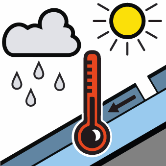
On Friday it will be mostly sunny. Significant increase in danger of moist avalanches as a consequence of warming during the day and solar radiation. Temporary decrease in danger of dry avalanches.