Danger level

2200m
Avalanche Problem

Wind slab

2200m


New snow
2000m

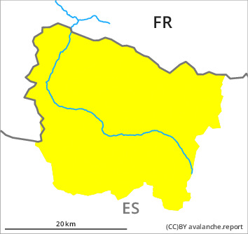
With immediate effect, the avalanche bulletin will appear daily at 5 pm. The Avalanche Warning Service currently has only a small amount of information that has been collected in the field, so that the avalanche danger should be investigated especially thoroughly in the relevant locality.
New snow and wind slabs require caution.
Fresh snow and large quantities of wind-drifted snow of the last two days must be evaluated with care and prudence in all aspects above approximately 2000 m. This snow and local wind slabs can be released easily, even by a single winter sport participant,. In the regions with a lot of snow the avalanches can in some cases reach medium size. Transitions into gullies and bowls are especially dangerous.
In addition as the day progresses on southeast, south and southwest facing slopes, small loose snow slides are to be expected.
In addition as the day progresses on southeast, south and southwest facing slopes, small loose snow slides are to be expected.
Snowpack
>
The new snow and wind slabs are poorly bonded with the old snowpack in many places in all aspects. Artificially triggered avalanches and field observations confirm a sometimes precarious avalanche situation on steep slopes. 20 to 30 cm of snow has fallen since Monday above approximately 2000 m. The northwesterly wind has transported the new snow significantly. On Wednesday it will be sunny. Off-piste activities call for meticulous route selection.
Tendency
Gradual decrease in avalanche danger as the temperature drops.