Danger level

Avalanche Problem
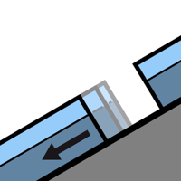
Gliding snow

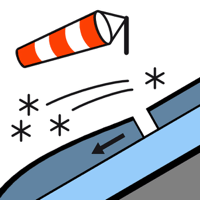
Wind slab



Gliding avalanches and moist snow slides are possible in isolated cases as before. Fresh wind slabs at elevated altitudes.
On extremely steep grassy slopes more gliding avalanches are possible at any time, but they can reach medium size in isolated cases. Areas with glide cracks are to be avoided. In addition as the day progresses some small moist snow slides are possible. They can be released by people or triggered naturally.
Shady slopes: The old snowpack will be generally stable. As a consequence of new snow and a sometimes strong southwesterly wind, mostly shallow wind slabs will form by the early morning in particular in the vicinity of peaks. In isolated cases they are only small but in some cases easily released.
Restraint should be exercised because avalanches can sweep people along and give rise to falls. In steep terrain there is a danger of falling on the hard snow surface.
Snowpack
>
Some snow will fall until the early morning in particular in the south and in the east. In the next few hours the wind will be moderate to strong in the vicinity of peaks. The southwesterly wind will transport only a little snow. Shady slopes and high altitudes: The snowpack consists of faceted crystals and its surface has a crust.
Sunny slopes: The surface of the snowpack will freeze to form a strong crust and will soften during the day.
Above the tree line there are 25 to 40 cm of snow, and even more in some localities. At high altitudes and in high Alpine regions snow depths vary greatly, depending on the infuence of the wind. At low altitude hardly any snow is lying.
Tendency
Wednesday: Slight increase in danger of gliding avalanches and moist snow slides as a consequence of warming during the day and solar radiation. Rapid decrease in danger of dry avalanches.