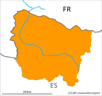
Danger level

Avalanche Problem
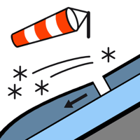
Wind slab


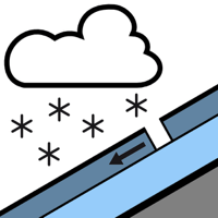
New snow


New snow and wind slabs in all altitude zones. Outside marked and open pistes a very precarious avalanche situation will prevail.
The new snow and wind slabs can be released easily, or, in isolated cases naturally in all aspects and in all altitude zones. In many cases the avalanches are medium-sized and very easily released. Shady slopes where weaknesses exist in the old snowpack are especially unfavourable. In addition the wind slabs adjacent to ridgelines on north, east and south facing slopes are prone to triggering in many locations. Above approximately 2000 m the avalanche prone locations are more prevalent and the danger is greater.
Backcountry touring and other off-piste activities call for extensive experience in the assessment of avalanche danger and restraint.
Backcountry touring and other off-piste activities call for extensive experience in the assessment of avalanche danger and restraint.
Snowpack
>
The new snow and wind slabs of the last three days are lying on the unfavourable surface of an old snowpack especially on little used shady slopes above approximately 2000 m. Released avalanches and distinct weak layers in the upper part of the snowpack indicate this situation. In the last three days on very steep north, east and south facing slopes numerous small and, in isolated cases, medium-sized avalanches were reported.
Up to 40 cm of snow has fallen since Sunday above approximately 1800 m. 5 to 10 cm of snow fell during the night in all altitude zones.
Above the tree line there are 40 to 80 cm of snow, and even more in some localities. At high altitude snow depths vary greatly, depending on the infuence of the wind. At low altitude thus far only a little snow is lying.
Tendency
Friday: As a consequence of new snow and strong wind the prevalence and size of the avalanche prone locations will increase by the early morning. During the course of the night possibly danger level 4 (high) will be reached above the tree line.