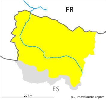
AM
Danger level

2000m
Avalanche Problem

Wind slab

2000m


New snow


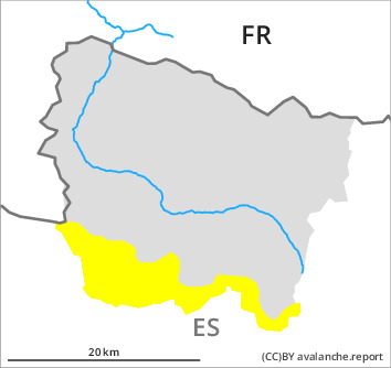
PM
Danger level

2000m
Avalanche Problem
Wind slab
2000m
New snow
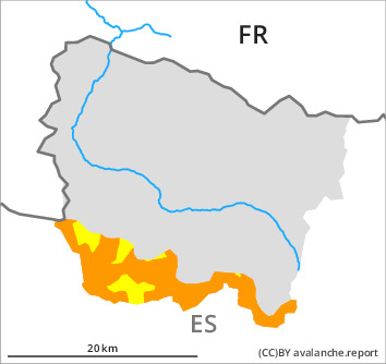
New snow and wind slabs as the day progresses. Danger level 3 (considerable) will be reached from the middle of the day probably.
The fresh snow as well as the wind slabs that are being formed by the southerly wind represent the main danger. Dry avalanches can to an increasing extent be released very easily or triggered naturally. In particular on wind-protected shady slopes they can be triggered in the faceted old snow and reach medium size in some cases. The avalanche prone locations are barely recognisable because of the poor visibility. In regions exposed to heavier precipitation these avalanche prone locations are more prevalent and the danger is greater. Especially in places where more snow falls danger level 3 (considerable) may be reached in the afternoon.
Snowpack
>
Thursday: 20 cm of snow, and up to 30 cm in some localities, will fall until the afternoon above approximately 2000 m. The wind will be moderate to strong adjacent to ridgelines. The new snow and wind slabs will be deposited on the unfavourable surface of an old snowpack on wind-protected shady slopes and at intermediate and high altitudes. They will become increasingly prone to triggering.
In high Alpine regions snow depths vary greatly, depending on the infuence of the wind. At intermediate and high altitudes there are 40 to 100 cm of snow, and even more in some localities.
In high Alpine regions snow depths vary greatly, depending on the infuence of the wind. At intermediate and high altitudes there are 40 to 100 cm of snow, and even more in some localities.
Tendency
Friday: Further increase in danger of dry avalanches as a consequence of new snow and strong wind.