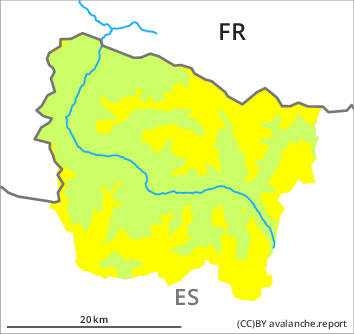
Danger level

2000m
Avalanche Problem

Wind slab

2000m

Fresh wind slabs as the day progresses.
The cold fresh snow and the mostly small wind slabs formed during the snowfall can still be released in some cases in particular on very steep shady slopes and generally at intermediate and high altitudes. Some snow will fall on Monday. The southerly wind will transport the new snow. The fresh wind slabs will form adjacent to ridgelines on north and east facing slopes. They are rather small but in many cases easily released. In particular in the southernmost and westernmost part of Aran the avalanches are more frequent and larger.
Fresh and somewhat older wind slabs will be covered with new snow in some cases and therefore difficult to recognise. Even a small avalanche can sweep people along and give rise to falls. The Avalanche Warning Service currently has only a small amount of information about the snowpack, so that the avalanche danger should be investigated especially thoroughly in the relevant locality.
Fresh and somewhat older wind slabs will be covered with new snow in some cases and therefore difficult to recognise. Even a small avalanche can sweep people along and give rise to falls. The Avalanche Warning Service currently has only a small amount of information about the snowpack, so that the avalanche danger should be investigated especially thoroughly in the relevant locality.
Snowpack
>
As a consequence of sharply falling temperatures the snowpack consolidated at the weekend. 15 cm of snow, and even more in some localities, fell in the last few days above approximately 2000 m. The somewhat older wind slabs remain in some cases prone to triggering. The fresh wind slabs are bonding poorly with the old snowpack in particular on wind-protected north and east facing slopes. They will become increasingly prone to triggering.
Above approximately 2000 m there are 20 to 30 cm of snow, and even more in some localities. Snow depths vary greatly at intermediate and high altitudes, depending on the infuence of the wind. At low altitude from a snow sport perspective, insufficient snow is lying.
Above approximately 2000 m there are 20 to 30 cm of snow, and even more in some localities. Snow depths vary greatly at intermediate and high altitudes, depending on the infuence of the wind. At low altitude from a snow sport perspective, insufficient snow is lying.
Tendency
Tuesday: As a consequence of new snow and a moderate to strong northwesterly wind, further wind slabs will form.