AM
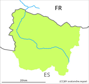

Danger level

Avalanche Problem
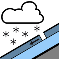
New snow


PM
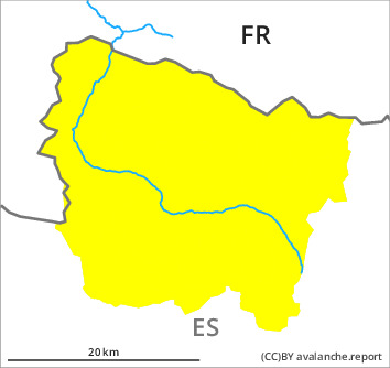

Danger level

Avalanche Problem
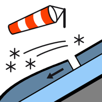
Wind slab



New snow


As the day progresses as a consequence of new snow and stormy weather there will be a gradual increase in the danger of dry avalanches to level 2 (moderate).
As a consequence of the new snow dry snow slides are possible by midday.
Over a wide area 10 to 20 cm of snow, and even more in some localities, will fall until late in the night above approximately 1700 m.
As a consequence of new snow and a gathering strong northwesterly wind, dangerous wind slabs will form towards the evening on northeast, southeast and south facing slopes. These can be released by people and reach medium size.
The avalanche prone locations are to be found in steep terrain at high altitude and adjacent to ridgelines and in gullies and bowls. They are prevalent and are barely recognisable because of the poor visibility.
Snowpack
>
As a consequence of new snow and a sometimes strong northwesterly wind, easily released wind slabs will form in particular from the eastern border of Aran to the southern border of Aran. The fresh wind slabs are bonding poorly with the old snowpack.
Below approximately 1800 m from a snow sport perspective, in most cases insufficient snow is lying.
Below approximately 1800 m from a snow sport perspective, in most cases insufficient snow is lying.
Tendency
Thursday: Further increase in danger of dry avalanches as the snowfall becomes more intense. Above the tree line possibly danger level 3 (considerable) will be reached.