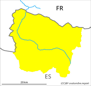
Danger level

Avalanche Problem

Wet snow


New snow

2000m
Early and late morning: Wet snow requires caution. New snow above approximately 2000 m.
As a consequence of the precipitation moist and wet avalanches are to be expected as the day progresses, even medium-sized ones. These can be released by small loads or triggered naturally. The avalanche prone locations are to be found in particular on steep slopes below approximately 2200 m.
Midday and afternoon: As the snowfall level drops small dry avalanches are to be expected above approximately 2000 m. These can in many cases be released by people.
Midday and afternoon: As the snowfall level drops small dry avalanches are to be expected above approximately 2000 m. These can in many cases be released by people.
Snowpack
>
The surface of the snowpack is not frozen and will soften quickly.
Up to 2500 m rain has fallen over a wide area. Above approximately 2000 m snow will fall from early morning. Over a wide area 10 cm of snow will fall until late in the night above approximately 2000 m.
Above approximately 2000 m there are 40 to 60 cm of snow, and even more in some localities. At low altitude from a snow sport perspective, insufficient snow is lying.
Tendency
Saturday: Gradual decrease in danger of dry and moist avalanches as a consequence of the ceasing of precipitation.