Danger level

2000m
Avalanche Problem

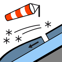
Wind slab

2000m


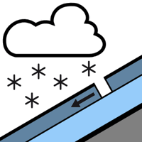
New snow


Outside marked and open pistes a dangerous avalanche situation will prevail. The danger in particular at intermediate and high altitudes is within the uppermost range of danger level 3 (considerable).
The large quantity of fresh snow as well as the extensive wind slabs can be released easily, or, in isolated cases naturally in all aspects and in all altitude zones. Mostly the avalanches are medium-sized.
In particular adjacent to ridgelines on northeast, east and south facing slopes the already large wind slabs have increased in size substantially during the night. In isolated cases the avalanches in these loacations are large and in many cases easily released.
As a consequence of the solar radiation, the likelihood of dry and moist avalanches being released will increase on sunny slopes.
The number and size of avalanche prone locations will increase with altitude. The conditions are treacherous for ski touring, freeriding and snowshoe hiking in steep terrain.
Snowpack
>
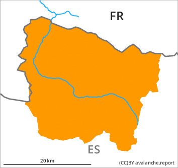
From early morning the weather will be sunny. Until the evening the wind will be moderate adjacent to ridgelines in particular at the southern and eastern borders of Aran. 40 to 50 cm of snow, and even more in some localities, has fallen since Monday above approximately 1800 m. The sometimes strong wind has transported the new snow and, in some cases, old snow as well. The new snow and wind slabs are lying on the unfavourable surface of an old snowpack in particular on east and north facing slopes above approximately 2200 m.
Above approximately 2000 m there are 70 to 90 cm of snow, and even more in some localities. At lower altitudes thus far only a little snow is lying.
Above approximately 2000 m there are 70 to 90 cm of snow, and even more in some localities. At lower altitudes thus far only a little snow is lying.
Tendency
Thursday: Sharp increase in danger of moist avalanches as a consequence of warming during the day and solar radiation. The danger of dry avalanches will decrease gradually.