Danger level

Avalanche Problem

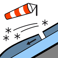
Wind slab


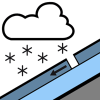
New snow


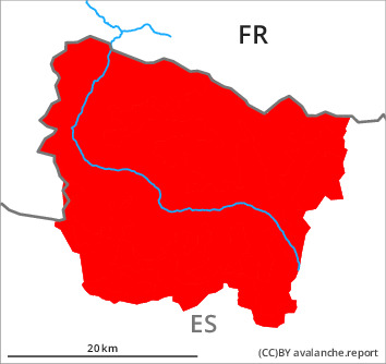
Outside marked and open pistes a critical avalanche situation will prevail.
The large quantity of fresh snow of last week as well as the extensive wind slabs can be released easily or naturally in all aspects. As a consequence of new snow and a strong northwesterly wind, further wind slabs will form in the course of the day. In many cases the avalanches are large and in some cases easily released. Shady slopes where weaknesses exist in the old snowpack are especially precarious. In some places dry avalanches can be triggered in the old snowpack and reach very large size in isolated cases.
Backcountry touring and other off-piste activities are to be restricted to moderately steep terrain. The runout zones of large avalanches are to be avoided as well. The avalanche prone locations are widespread and are barely recognisable because of the poor visibility.
Backcountry touring and other off-piste activities are to be restricted to moderately steep terrain. The runout zones of large avalanches are to be avoided as well. The avalanche prone locations are widespread and are barely recognisable because of the poor visibility.
Snowpack
>
70 to 80 cm of snow, and even more in some localities, has fallen since Sunday above approximately 1800 m. 40 to 50 cm of snow will fall until the evening in all altitude zones. The northwesterly wind will transport the fresh and old snow significantly. Faceted weak layers exist in the centre of the snowpack on west, north and east facing slopes.
Tendency
Monday: Gradual decrease in danger of dry avalanches as a consequence of the ceasing of precipitation.