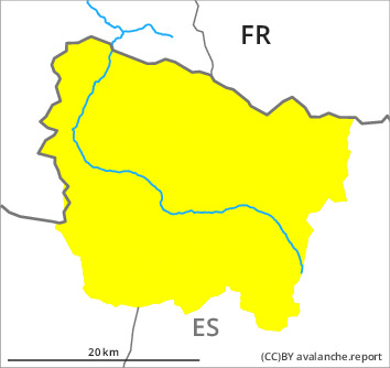
Danger level

2300m
Avalanche Problem

Persistent weak layer

2300m


Wet snow


The avalanche conditions at elevated altitudes are treacherous.
Weakly bonded old snow is to be evaluated with care and prudence. Moist snow slides and avalanches as the day progresses.
Weak layers in the upper part of the snowpack can still be released in some places on steep, little used shady slopes. Caution is to be exercised in particular in gullies and bowls, and behind abrupt changes in the terrain. In isolated cases the avalanches are dangerously large and in some cases easily released.
Adjacent to ridgelines and in pass areas north and west facing slopes: In addition, rather small wind slabs will form.
As a consequence of warming during the day and solar radiation more moist avalanches are to be expected as the day progresses, even medium-sized ones. Moist avalanches can occur easily or triggered naturally. Gliding avalanches can also occur.
The current avalanche situation calls for experience in the assessment of avalanche danger and restraint.
Snowpack
>
The new snow and wind slabs of the weekend are poorly bonded with the old snowpack in many places in particular on wind-protected shady slopes at high altitude. Stability tests and whumpfing sounds and the formation of shooting cracks when stepping on the snowpack indicate poor snowpack stability in these regions.
Some snow fell today. The light wind will transport only a little snow. On Friday it will be mostly sunny. Sunshine and high temperatures will give rise as the day progresses to increasing moistening of the snowpack on sunny slopes.
At intermediate altitudes there are 150 to 200 cm of snow, and even more in some localities. Snow depths vary greatly at high altitudes and in high Alpine regions, depending on the infuence of the wind.
Tendency
On Saturday it will be mostly sunny. The danger of moist avalanches will increase during the day. The danger of dry avalanches will not decrease for the time being.