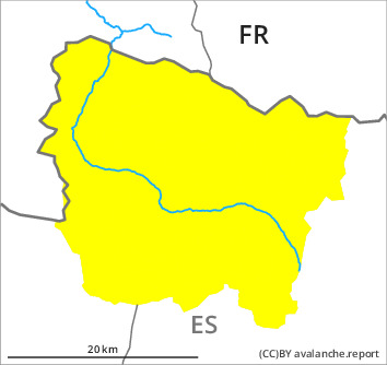
Danger level

2400m
Avalanche Problem

Persistent weak layer

2400m


Wind slab
2000m

The avalanche conditions remain wintry at high altitude.
Wind slabs and weakly bonded old snow require caution.
Some fresh snow and in particular isolated small wind slabs can be released easily or naturally in all aspects at intermediate and high altitudes. Weak layers in the upper part of the snowpack can still be released in some places especially on steep, little used shady slopes. Sometimes these are medium-sized and in isolated cases easily released. Caution is to be exercised in particular adjacent to ridgelines and in gullies and bowls,, also at the base of rock walls and behind abrupt changes in the terrain.
In particular very steep sunny slopes as well as low altitudes: As a consequence of warming during the day and solar radiation more loose snow slides are possible as the day progresses, but they will be mostly small. They can occur easily or triggered naturally. Gliding avalanches can also occur.
Off-piste activities call for experience and restraint.
Snowpack
>
Some snow has fallen since yesterday in some localities. The moderate wind has transported the fresh and old snow. The new snow and wind slabs are lying on surface hoar in some places in particular on wind-protected shady slopes and at intermediate and high altitudes. Also high altitudes in shady places that are protected from the wind: Large-grained weak layers exist in the top section of the snowpack. They are prone to triggering. Snow profiles and stability tests indicate the unfavourable bonding of the snowpack in these regions.
On Monday it will be mostly sunny. The solar radiation will give rise as the day progresses to gradual moistening of the snowpack in particular on sunny slopes.
At intermediate altitudes there are 150 to 200 cm of snow, and even more in some localities. Snow depths vary greatly at high altitudes and in high Alpine regions, depending on the infuence of the wind.
Tendency
On Tuesday it will be sunny. The danger of dry avalanches will decrease gradually. The danger of moist avalanches will increase significantly during the day.